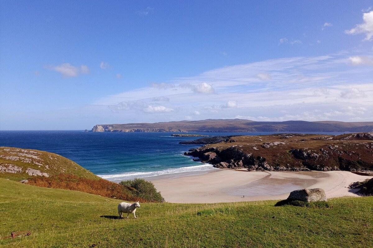
Durness and Smoo Cave: the far north-west corner
There's a point on the A836 west of Thurso where the phone signal drops, the last farm gate closes behind you, and the road narrows into a single track threading across the Flow Country's ancient, waterlogged peatland — the largest blanket bog in Europe, older than the pyramids, and utterly empty. Ben Loyal rises to the south like a shark's fin, a mountain so improbably sharp it's known locally as the Queen of the Scottish Mountains, and the Kyle of Tongue opens out beside the road in a long silver sea-loch that the causeway crosses in one clean line. None of it is signposted as a destination. It's simply what happens on the way to somewhere else — which, on this stretch of coast, is exactly the point.
🧭 At a glance
Route: Thurso → Bettyhill & Strathy Point → Kyle of Tongue & Ben Loyal → Durness (Smoo Cave, Balnakeil, Cape Wrath)
Time: a full day's drive from Thurso to Durness, plus a second day in Durness for Cape Wrath and the beaches
Best for: the point where the road stops feeling like a route between places and starts feeling like the destination itself
Don't rush: the single-track miles around the Kyle of Tongue — slow down and let Ben Loyal do its work
📶 Before you set off. Signal is patchy for most of this drive and can vanish completely around the Flow Country, the Kyle of Tongue and the approach to Durness. On Wi-Fi, open Google Maps, tap your profile icon, choose Offline maps, then Select your own map, and drag the box to cover the entire Thurso–Durness corridor, including Bettyhill, Tongue and Durness itself.
1. Onward from Thurso: the empty road to the edge
West of Thurso the A836 commits fully to the wild. It narrows into sweeping single-track stretches across the Flow Country's peatlands, past crofts that thin out and eventually stop altogether, with Ben Loyal's granite peak announcing itself from miles off and the Kyle of Tongue's causeway carrying the road straight across open water.
⚠️ Route warning. The single-track sections here require active awareness. Always use the designated passing places on your left to let faster local traffic overtake, and never park in them.
The Store Bistro & Bar, Bettyhill
A warm, remote bistro in Bettyhill serving homemade soups, baking and hearty plates — the last proper stop before the road turns wild. Worth timing your drive around, since there's genuinely little else until Durness.
Official website · Navigate · Google Maps
Strathy Point Lighthouse
A stunning walk out to an isolated lighthouse on a dramatic headland, and an excellent spot for whale and dolphin watching in summer. The lighthouse itself is unmanned now, but the walk out is empty-coast atmosphere in abundance.
Time needed: 1 hour.
💡 Insider tip. You must park at the end of the public road and walk the last 20 minutes out to the lighthouse along a tarmac path.
Walkhighlands: Strathy Point · Navigate · Google Maps
Past Bettyhill the road runs on to Tongue, where the causeway crosses the Kyle in full view of Ben Loyal's four granite tops, before turning south-west and dropping you, eventually, onto the approach to Durness — the last village before the map genuinely runs out.
2. Smoo Cave
Durness announces itself with one of the strangest sights on the whole coast: a colossal marine and freshwater cave carved straight into the limestone cliffs, right at the edge of the village.
Smoo Cave
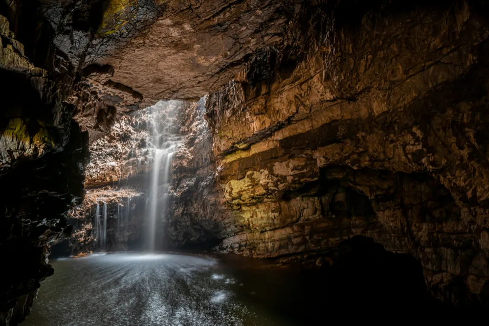
Walk down into the limestone cavern to view a subterranean waterfall hidden deep inside the rock. A short boat tour goes further into the inner chamber for anyone who wants the full extent of it.
Time needed: 45 minutes (1.5 hours if taking the boat tour).
💡 Insider tip. The wooden walkway into the main chamber gets incredibly slippery from the waterfall mist. Tread carefully.
Tour website · Navigate · Google Maps
3. Balnakeil, the craft village and the chocolate
A couple of miles beyond the village, the road ends at Balnakeil — a working craft village housed in a former Cold War-era early-warning station, and one of the finest beaches in Scotland right behind it.
⚠️ Route warning. If taking your vehicle to Balnakeil Beach, stick strictly to the paved car park area. Do not attempt to drive onto the fragile sand dunes.
Cocoa Mountain, Durness
Balnakeil Craft Village's famous chocolatier: the hot chocolate is legendary, the truffles are handmade on site and the coffee is excellent. An easy, incongruous pocket of indulgence at the very edge of the mainland.
Official website · Navigate · Google Maps
Balnakeil Beach & Craft Village
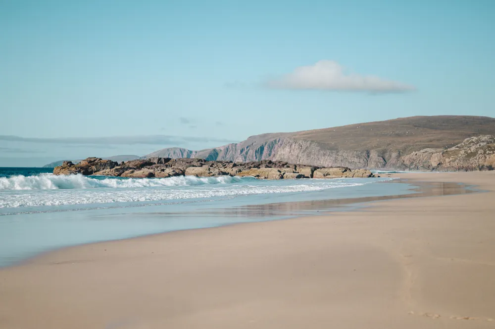
An endless expanse of white sand and dunes, backed by the craft village's galleries and workshops. It's the kind of beach that makes you understand why people keep describing this coast as edge-of-the-map.
Time needed: 1.5 hours.
💡 Insider tip. Walk to the northern tip of the bay to explore the dramatic ruins of the 17th-century Balnakeil Church overlooking the ocean.
Walkhighlands: Faraid Head & Balnakeil · Navigate · Google Maps
4. Cape Wrath: the guided tour to the edge
For anyone with an extra half-day, the genuine end of the mainland is within reach — but only by a small, deliberately awkward combination of boat and minibus that keeps it from ever feeling routine.
Cape Wrath (Guided Tour)
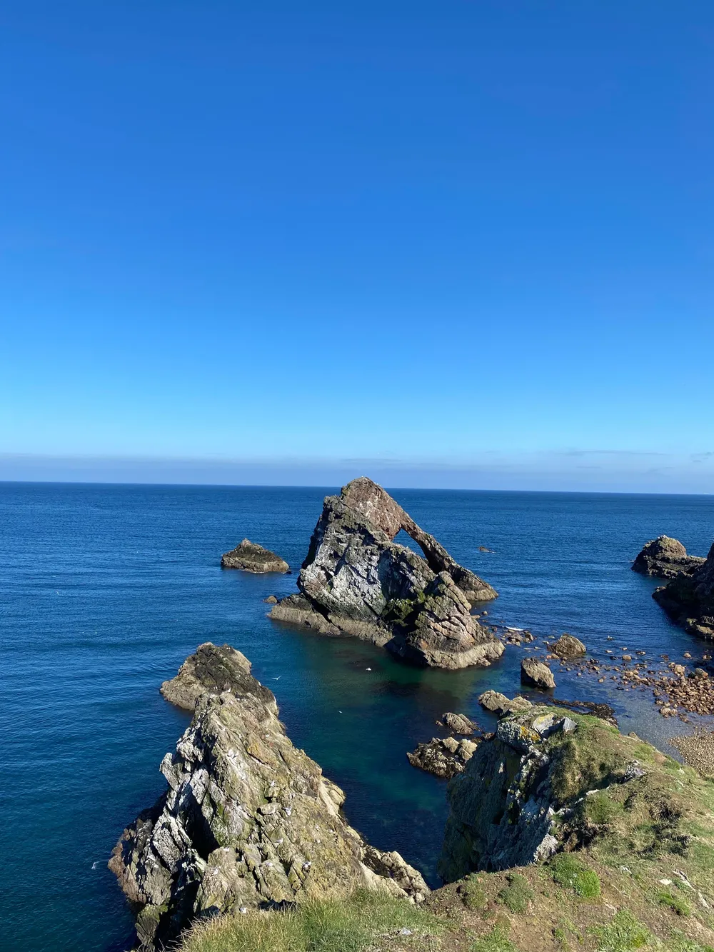
Cross the Kyle of Durness on the little passenger ferry from Keoldale, then ride the minibus eleven miles over the moor to the lighthouse on Britain's most north-westerly point. The crossing and the moorland ride are as much the experience as the lighthouse itself.
Time needed: 3 to 4 hours.
💡 Insider tip. The ferry and minibus operate seasonally (May–September) and are weather-dependent. Check local operation status in Durness before setting out.
Tour website · Navigate · Google Maps
5. Where to stay tonight
Smoo Cave Hotel for a welcoming family-run inn a short walk from Smoo Cave, known for local seafood, hearty bar meals and a proper Highland welcome. Book · hotel website · Navigate · Google Maps
Sango Sands Oasis for a clifftop pitch directly above Sango Bay's white sand — tents and vans welcome, with a bar and restaurant on site. Worth booking two nights if Cape Wrath is on the list, since the tour needs a full day of its own. Book · campsite website · Navigate · Google Maps
6. Onward: south into Sutherland's sea lochs
From Durness the road turns south along the coast, past Oldshoremore's beach and on to Scourie — the jumping-off point for a boat trip to a seabird colony that puts every clifftop so far in the shade.
What to avoid
Driving through the Flow Country stretch without fuel or food. The Store Bistro & Bar in Bettyhill really is the last proper stop before Durness.
Treating Bettyhill to Tongue as a stretch to get through quickly. Ben Loyal and the Kyle of Tongue causeway are among the best unscheduled views on the whole coast — slow down for them.
Driving onto Balnakeil's dunes. Stick to the paved car park; the dune system is fragile and protected.
Turning up to Cape Wrath without checking first. The ferry and minibus run seasonally and depend on the weather — confirm in Durness before you commit the day to it.
Next step
Heading onward? Read our feature on Handa Island and Scourie: seabirds and a short boat hop.
Free guide: Pitch & Packing Checklist. Six pitches worth the detour and a packing checklist, in a short PDF for your phone. Get the free Pitch & Packing Checklist
For the campsite morning. The Route500 Scotland Travel Mug is 20 oz of double-wall vacuum insulated stainless steel in Highland Navy, with a slide-lock lid, and it comes with free tracked worldwide shipping. See the Travel Mug
